• 2 min read
FireSat satellites target fires as small as 1.5 square meters
Muon Space’s first three FireSat satellites can detect heat sources as small as 1.5 square meters, with a 50-satellite network planned.
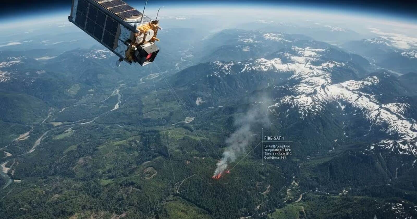
Image: ITzine
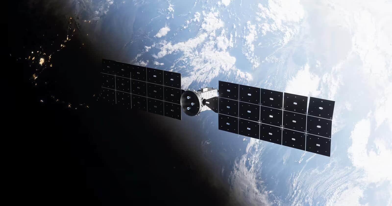
Muon Space has placed the first three FireSat satellites into orbit, starting a system designed to detect wildfires when they are still tiny heat sources rather than large burning areas. The satellites launched on July 7, 2026, as part of the SpaceX Transporter 17 mission, and Muon says the initial group has completed orbital checks and is operating.
The project is being developed with the nonprofit Earth Fire Alliance. Google is contributing algorithms to analyze the satellite imagery. Muon ultimately plans to expand the constellation to 50 satellites, which would allow it to refresh maps of high-risk areas every 20 minutes. By 2029, the developers expect to move to hourly monitoring of the most vulnerable regions.
How FireSat detects small fires
The first FireSat spacecraft use the Condor-M platform for low Earth orbit. Each carries a multispectral infrared camera operating across six bands. Muon says the system can detect a heat source covering approximately 1.5 square meters, allowing it to identify fires that may be too small for other monitoring systems.
The camera is designed to work more effectively through smoke and clouds. Its multiband analysis also helps filter out false positives such as hot roofs, reflections on water and industrial facilities.

Recommended reading
Amazon seeks approval for 5,105 Leo satellites
Image processing runs through Muon’s Halo platform. Some computation happens during imaging: the system compares a new frame with earlier images of the same location, incorporates weather data and other parameters, and then determines whether the heat signature represents a fire.
The first satellites currently image fire-prone regions twice a day. The planned 50-satellite network would substantially increase that frequency, although the source does not state when the full constellation will be deployed.
Data behind the FireSat launch
FireSat was preceded by a prototype called Protoflight, which collected more than 1 million multispectral images over a year. Muon says the system detected real fires in that dataset, including a small blaze in Oregon that other observation tools missed.
The company is targeting a specific gap in fire monitoring. Commercial remote-sensing satellites and government weather satellites already provide broad coverage, but FireSat is focused on identifying ignition points as early as possible.
The need is underscored by US fire statistics. According to the National Interagency Fire Center, the United States recorded 41,984 fires affecting more than 1.6 million hectares between January 1 and July 24, 2026. Muon’s stated goal is to turn a three-satellite start into a 50-spacecraft network that can revisit any point on Earth every 20 minutes.
Frontier Editor
Dan is our resident futurist, covering electric mobility, space exploration, and the smart home. He's interested in atoms just as much as bits. Whether it's a new battery chemistry, a reusable rocket, or a protocol that finally makes IoT devices talk to each other, Dan breaks down the engineering that pushes humanity forward.
via ITzine