

Russia’s Rosreestr agency is launching an ambitious project to automate map updates using satellite imagery combined with artificial intelligence. The new system aims to detect changes on the ground-such as new roads or construction-and update spatial data much faster without manual intervention. The agency told TASS that the first meeting of the interagency working group has already taken place.
The initiative follows a roadmap signed at the Russian Space Forum in April 2024. This group includes representatives from Rosreestr, Roscosmos (Russia’s state space corporation), the Public Cadastral Map operator Roskadastr, and leading IT firms specializing in AI. The session was led by Maxim Smirnov, deputy head of Rosreestr.
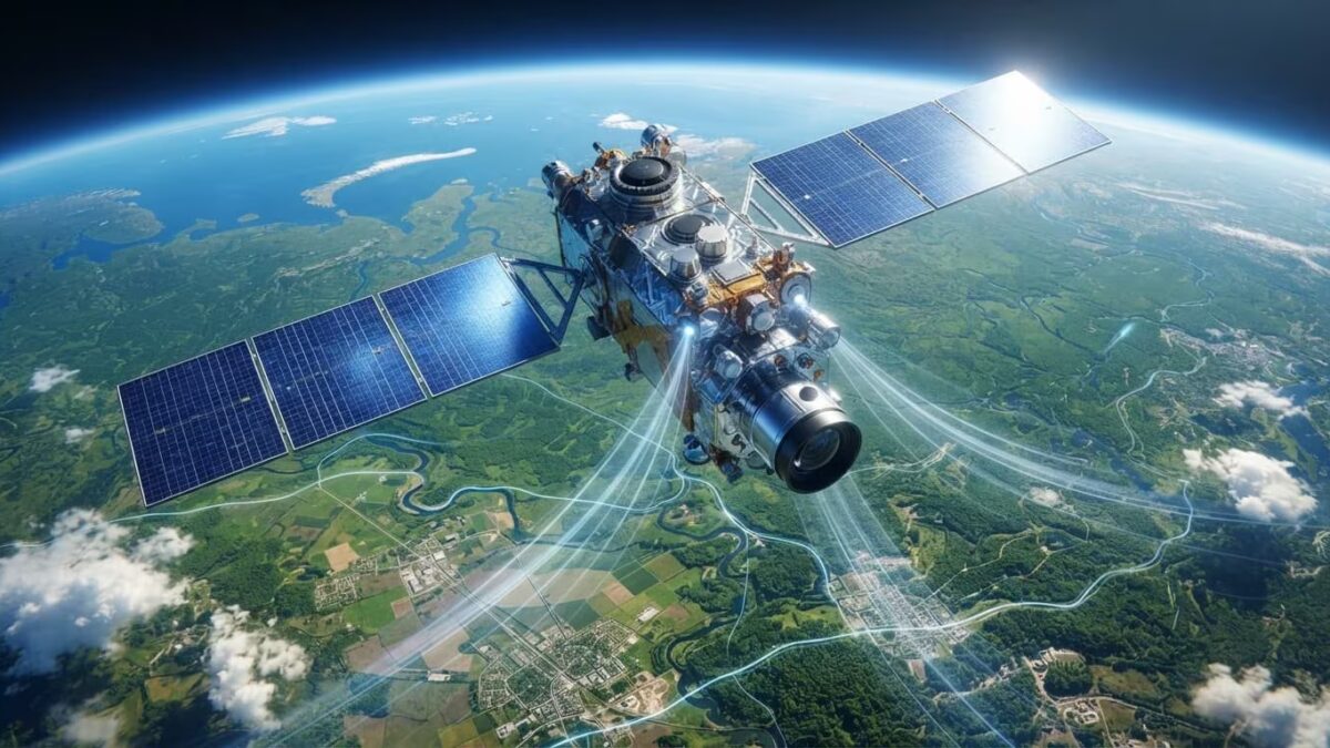
Currently, much of Russia’s map updating process relies on manual efforts. The new approach seeks to ease this burden by automating data collection and processing. Satellites capture images of regions, AI algorithms identify changes, and the data flows directly into Rosreestr’s workflow. This shift aims to speed up updates while reducing costs by minimizing manual verification.
This kind of automated map revision is already standard practice for private mapping companies and government agencies abroad. For years, Google and Microsoft have trained computer vision models to recognize roads, buildings, and disaster impacts from Earth imagery. Europe’s Copernicus satellite program provides crucial data for monitoring agriculture, forests, and urban development. In Russia, remote sensing technology is already used to track wildfires, crop conditions, and infrastructure health.
For Rosreestr, speedier detection of landscape changes means more accurate and timely cadastral records, urban planning, and land regulation. The global geospatial data market, valued in the tens of billions of dollars by analysts like Maxar and Euroconsult, is increasingly driven by automated image processing rather than just new satellite captures, providing a strong push toward such digital modernization.
Still, key questions remain open: how often will Rosreestr update its maps, and how precise will the AI-driven system prove on real-world data? These answers will emerge during the pilot phase, where the agency will test whether it can shrink map update cycles from months down to weeks for Russia’s largest regions.