
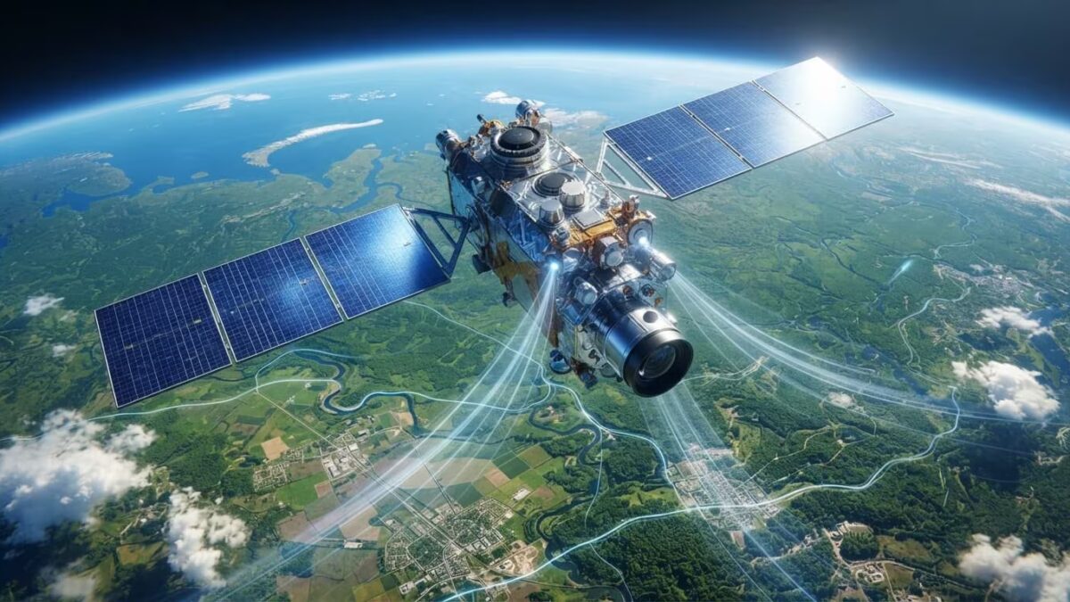

Russia’s Rosreestr agency is launching an ambitious project to automate map updates using satellite imagery combined with artificial intelligence. The new system aims to detect changes on the ground-such as new roads or construction-and update spatial data much faster without manual intervention. The agency told TASS that the first meeting of the interagency working group […]