• 3 min read
This tool maps Flock surveillance cameras nationwide
The EFF’s Atlas of Surveillance maps police technology, helping residents track Flock cameras and other systems in US communities.
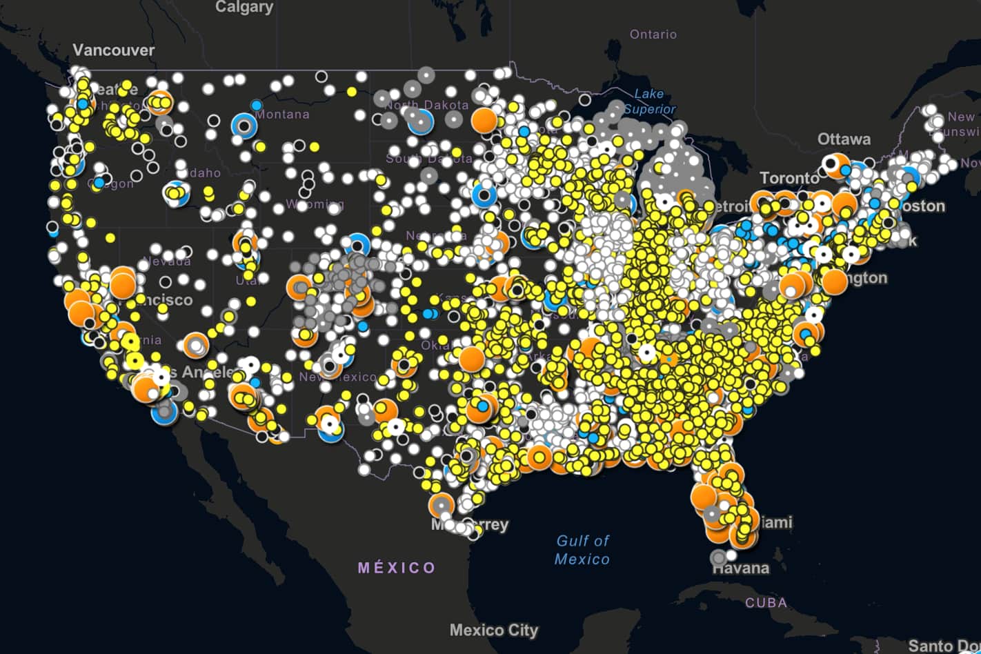
Image: CNET
Flock Safety’s automated license plate readers are facing growing scrutiny in US communities, from a dispute over 25 proposed cameras in South Carolina to Los Angeles ending its contract with the company. Flock’s CEO has argued that the Los Angeles suspension should be temporary while the police department revises its rules.
The opposition reflects concerns about cost, oversight and the risks of a system built for broad surveillance, including biased policing and privacy violations. To help residents track these deployments, journalists and researchers are turning to the free Atlas of Surveillance, a project from the Electronic Frontier Foundation (EFF) and the University of Nevada, Reno.
How the Atlas of Surveillance works
Users can search by city, county, state, law enforcement agency or vendor and filter for technologies such as automated license plate readers, drones, facial-recognition cameras and body cameras. Results include deployment details and links to public records or news reports.
The database is assembled by EFF researchers and University of Nevada students and staff using government documents, press releases, news coverage and confirmed social media posts. That sourcing can make it more reliable than tools based primarily on public reports of camera locations.
The Atlas provides sources for its information and includes records dating back years. EFF
Recommended reading
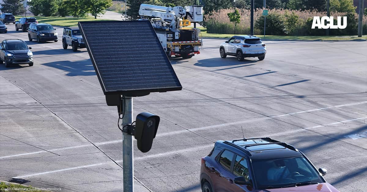
ACLU says Flock Safety keeps misleading officials
“We frequently run into situations where local councilpeople don’t even know that a certain tool is in use,” said Beryl Lipton, a senior investigative researcher at EFF. The Atlas, she said, is intended to help communities ask whether a technology is appropriate, and to push for rules governing how police can use it.
Gaps in camera-tracking databases
The author tested the Atlas with several searches, including Albany, Georgia, where five police officers were fired and arrested in July on charges of misusing the city’s Flock system. The database showed when Albany began its Flock program and listed other technologies used by the city.
Lipton recommends pairing the Atlas with EFF’s Street-Level Surveillance hub, which provides additional documentation, including information about third-party vendors working with law enforcement.
The database is not complete. The author found accurate traffic-camera listings for their home city, but no record of its Flock automated license plate readers, which were adopted last year and later removed after public complaints. The gap suggests the database may prioritize active programs or omit parts of older records.
Another tool, Deflock, lets users report suspected Flock camera locations, but its open-source model can allow false reports. Self-reports are also harder to verify as cameras are concealed in speed signs and cacti.
Residents can use the Atlas to identify surveillance systems that police departments may not clearly disclose—sometimes avoiding the Flock name even when using the company’s drones or ALPR cameras. Volunteers can submit information through the site’s Collaborate option.

Security Editor
Sophia unpacks the invisible wars happening on our networks. Covering cybersecurity, privacy legislation, and cryptography, she exposes how our data is weaponized and defended. Before joining for(geeks), she spent years as a penetration tester. She's the reason the rest of the team uses physical security keys.
via CNET