• 2 min read
MIPT gives rescue drones a visual memory
MIPT has developed a drone module that links detected objects to coordinates and preserves an evolving history of what the aircraft has seen.
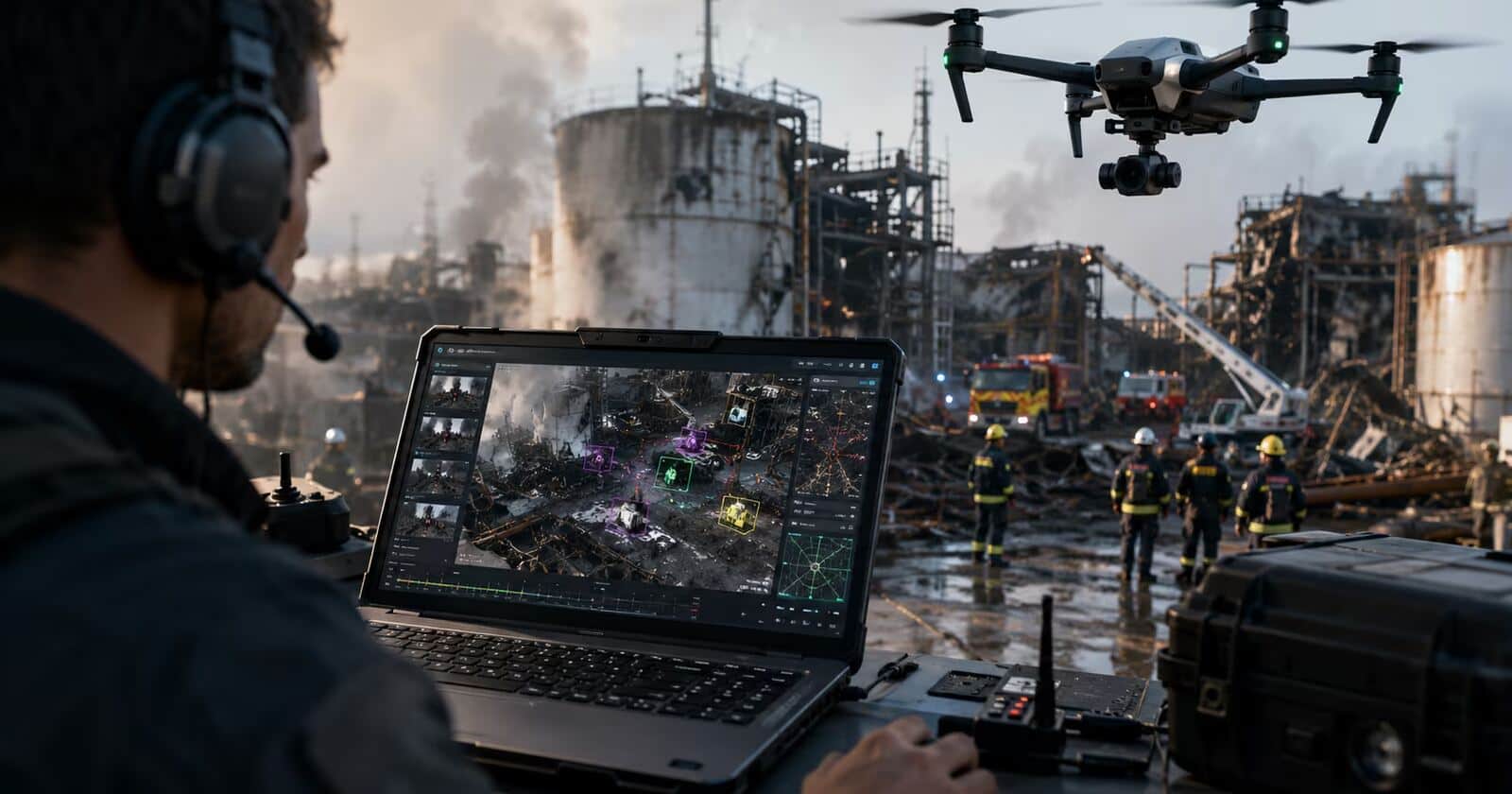
Image: ITzine
Researchers at the Moscow Institute of Physics and Technology (MIPT) have developed a “neural memory” module for unmanned aerial vehicles. It processes a drone’s camera feed, links detected objects to geographic coordinates, and records what the aircraft has already seen and where.
The system is intended for operations where reviewing isolated frames is not enough. Potential use cases include industrial-plant surveys, searching for people, and assessing the aftermath of accidents.
How the drone module works
The software combines several computer-vision and navigation functions:
- Image segmentation to identify objects in the video;
- Object tracking across successive frames;
- Re-identification to recognize an object seen earlier;
- Navigation data to associate observations with locations.
Each detected person or object receives its own record containing its type, detection time, coordinates, and other parameters. That gives rescuers and inspectors a structured observation history they can use both in the field and later when preparing reports.

Recommended reading
Sci-fi authors warn AI threatens writing’s provenance
The approach differs from treating a drone as only a flying camera. DJI, Skydio, and several industrial-drone manufacturers already offer computer-vision systems for autonomous flight and object recognition. MIPT’s stated focus is the history of observations: maintaining a record of what was detected, when it appeared, and where it was located.
Potential uses and open questions
The same capability could apply to energy companies, industrial inspection teams, and services monitoring large infrastructure—not only to rescue operations. In these settings, a list of objects with a time, location, and probability of a match may be more useful than a visually impressive frame.
Industry analysts cited by the source estimate that the civil and industrial drone segment is growing at double-digit rates, while demand for onboard analytics is increasing faster than demand for aerial imaging itself. The source does not name those analysts or provide specific growth figures.
The article also gives no pricing, release date, benchmark results, or independent field validation for the MIPT module. Its practical value will depend on whether it can operate reliably in real conditions without requiring lengthy manual data labeling.
AI Editor
Ava covers the rapidly evolving world of artificial intelligence, from foundational models and research labs to the real-world economics of intelligence. With a background in computational linguistics, she cuts through the hype to find out what actually works. She firmly believes that benchmarks are just marketing until reproduced in the wild.
via ITzine