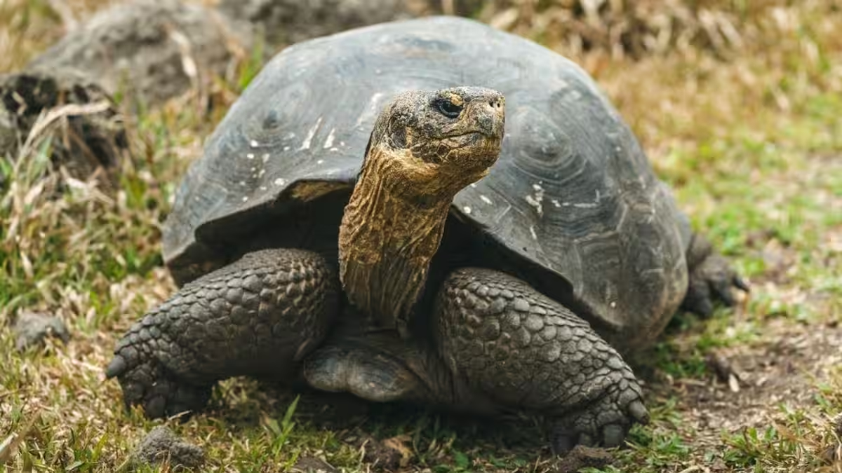
When 158 giant tortoises were released on Floreana Island on Feb. 20, it looked like a scene pulled from a natural-history film: lumbering shells reclaiming the landscape after more than a century and a half of absence. The more interesting story is less cinematic and more computational – scientists used decades of satellite data to map where food, water and nesting habitat will exist not just today but decades from now. That combination of long-lived animals and long-range forecasting changes what conservation planning actually looks like.
From whalers and extinction to DNA and satellites
Floreana’s tortoises vanished in the mid-1800s, driven to local extinction by hunting and invasive predators. The route back began in 2000, when unusual tortoises found on Wolf Volcano on northern Isabela Island raised a question: could some living animals carry the genetic legacy of vanished Floreana tortoises? Subsequent DNA work on museum and cave bones confirmed that connection, and a breeding program produced hundreds of offspring intended for return.
The Galápagos National Park Directorate and the Galápagos Conservancy have released more than 10,000 tortoises across the archipelago over the last 60 years. Still, every island is its own ecological puzzle: tortoises move seasonally between moist highlands and dry lowlands, and finding release sites where animals can find food, water and places to nest is critical for survival.
How satellites change the odds
What’s new is the way scientists have stitched multiple satellite streams together into a decision tool. The team combined Landsat and European Sentinel imagery for vegetation, GPM rainfall data, Terra-derived land-surface temperatures, terrain models and even high-resolution commercial imagery accessed through NASA’s Commercial Smallsat Data Acquisition Program to map habitat suitability across Floreana.
Those layers were fused with millions of field observations of tortoise locations to create models that do two things: identify where conditions are suitable today, and forecast where they are likely to be suitable 20, 40 or more years from now. That forward view matters when your focal species can live more than a century.
”We’re helping partners answer a practical question: Where will these animals have the best chance to survive – not just today, but decades from now?” said Keith Gaddis of NASA Earth Action.
Why this matters beyond the photo op
Putting tortoises back on Floreana isn’t a symbolic gesture. On many Galápagos islands, giant tortoises are ecosystem engineers: they graze vegetation, open travel routes, and move seeds. Restoring them can help revive ecological interactions that shaped the islands for millennia. The Floreana Ecological Restoration Project also aims to eradicate invasive rats and feral cats and to return a dozen native animal species, using tortoises as a keystone.
More broadly, this project foreshadows a shift in conservation practice. Remote sensing used to be mostly descriptive – mapping what had already happened. The toolset being deployed in the Galápagos treats satellites as a predictive engine for long-term population placement. That’s a subtle but important change: planners are trying to beat climate shifts and habitat turnover instead of merely reacting to them.
What satellites do well – and what they can’t
Satellites excel at measuring large-scale patterns: vegetation cover, seasonal greening, rainfall anomalies and temperature trends. Those signals are invaluable when you need to prioritize release sites across islands with limited budgets. They also make forecasting plausible at scales and repeat intervals impossible with fieldwork alone.
But remote sensing has limits. Many key tortoise needs play out at micro-scales: a well-hidden freshwater seep, a particular nesting slope, or fine-grained plant patches. Those details still require boots-on-ground surveys. And forecasts are only as good as the climate and land models that feed them – uncertainty grows the further into the future you try to predict.
The politics and costs of rewilding
Using NASA data also highlights the political economy of modern conservation. High-quality satellite products, computational skill and long-term funding are concentrated in a small set of institutions and nations. That can accelerate projects, but it risks creating dependencies: remote partners may supply the high-tech view while on-the-ground conservation teams handle eradication, monitoring and community engagement.
And while the Galápagos program benefits from decades of experience, not every island restoration is so well resourced. Eradicating invasive mammals, maintaining biosecurity and funding multi-decade monitoring are expensive, messy work – the tech helps pick sites, but it doesn’t remove rats or keep tourists from inadvertently carrying stowaways ashore.
What comes next
If Floreana’s reintroduction sticks, expect satellite-driven decision tools to become standard in island and range-wide rewilding efforts. The real test will be whether forecasting materially improves survival and reproduction over decades – not months. Success will require sustained finance, rigorous post-release monitoring, strict biosecurity and adaptability when forecasts and reality diverge.
For now, the sight of tortoises reoccupying Floreana is genuinely hopeful. It also serves as a reminder: technology can raise the odds in biodiversity recovery, but it does not replace the hard, ongoing labor of managing ecosystems.
Expect more headlines as other long-lived species become candidates for similar, satellite-informed returns. The underlying lesson from Floreana is practical and modest: better maps make better guesses. Whether those guesses turn into durable populations depends on follow-through.