The European Space Agency is heading to the Moon with someone else’s charts. For the first landing of its Argonaut cargo lander, ESA says it does not yet have the topographic data needed to touch down safely, so it may have to buy lunar maps from the US, India, or China while it builds its own system.
That is a neat little reminder that lunar ambition is easy to announce and harder to execute. Argonaut is supposed to give Europe an independent path to the Moon and a role in NASA’s Artemis plans, but even a flagship lander still depends on precise maps of terrain that other countries have spent years collecting.
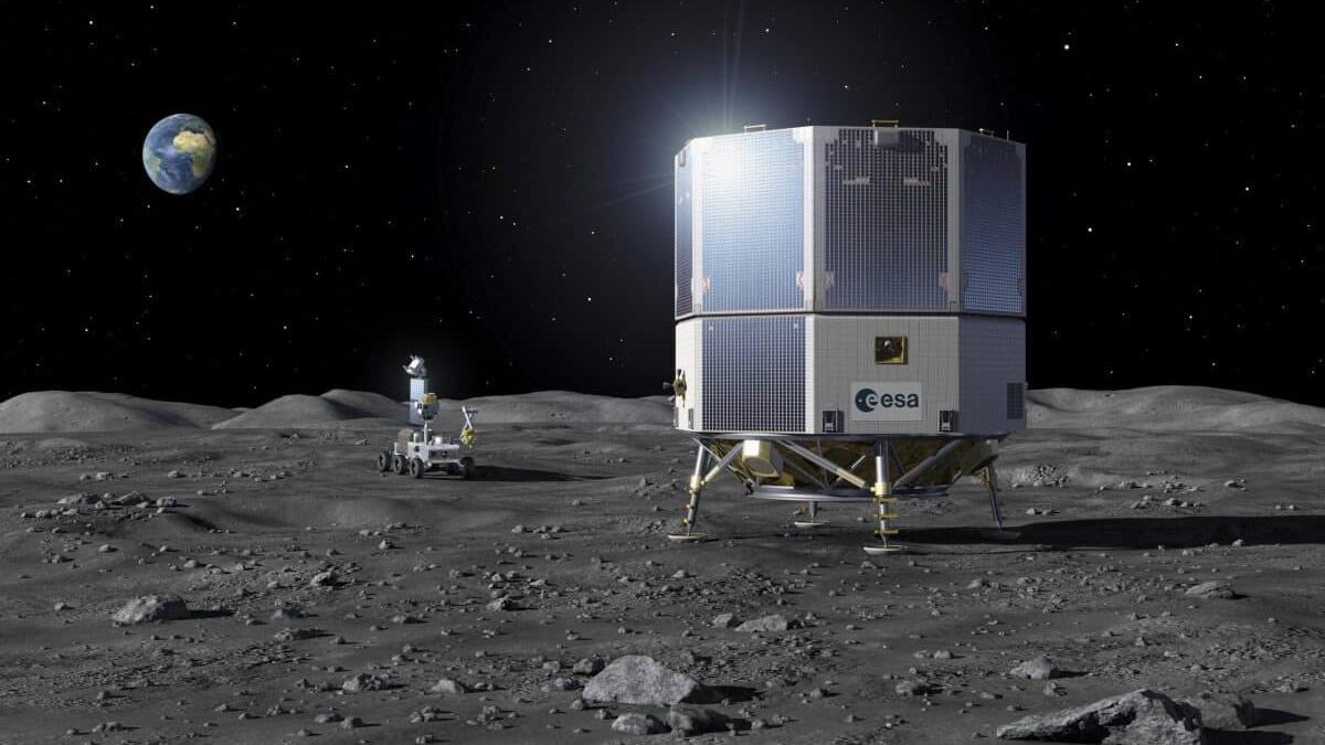
Argonaut still lacks the maps it needs
ESA’s Daniel Neuenschwander said after a council meeting on 17 June that the agency is using existing data during design work and can obtain more from outside suppliers. The agency has not named the countries involved, but the obvious candidates are the US, India, and China, all of which already operate or have operated lunar orbiters with serious mapping capability.
The gap is awkward, but not mysterious. Safe lunar landing has become a data business as much as a propulsion or guidance problem, and countries that have spent two decades mapping the Moon now hold a quiet but valuable advantage.
The outside Moon maps are already very good
- NASA’s Lunar Reconnaissance Orbiter has produced global maps at about 100 meters per pixel, with some areas mapped down to 0.5 meters per pixel.
- India’s Chandrayaan-2 can image selected areas at about 25 centimeters per pixel.
- China has built a broad lunar database starting with Chang’e-1 to support its own exploration and landing plans.
Those numbers explain why ESA is shopping around instead of pretending this is a trivial detail. On a world with no roads, no weather, and plenty of bad craters, landing accuracy starts with knowing exactly what the ground looks like.
Europe is building its own lunar cartography
ESA says it has already begun work on its own lunar mapping capability, including several small missions. Two of them are intended to map the Moon’s south pole, the same region targeted for Argonaut’s landing zone. That is the right place to start, and also a bit late for a program meant to prove European autonomy.
The timeline is now set around a first Argonaut flight in 2030, with later missions planned every two to three years. The lander is meant to carry up to 1,500 kilograms of payload, which makes the mapping problem even less forgiving: if you want to deliver real cargo, you cannot afford a heroic crash landing.
The interesting question is whether ESA treats this as a temporary embarrassment or a durable dependency. If the agency buys foreign maps for the first mission and then closes the gap with its own surveys, that is pragmatic. If not, Europe’s lunar independence will arrive wearing borrowed glasses.